31 July 2013

Kwelenalp - Risetenstock - Brisen - Brisenhaus SAC


The easy way up to Kwelenalp (1600 m) from Beckenried (440 m).


So green after the rain yesterday!

Looking back down towards the starting point, Kwelenalp.

Just a little bit farther to the peak of Risetenstock (2290 m).

Risetenstock (2290 m), with the next destination, Brisen (2404 m) in the background.

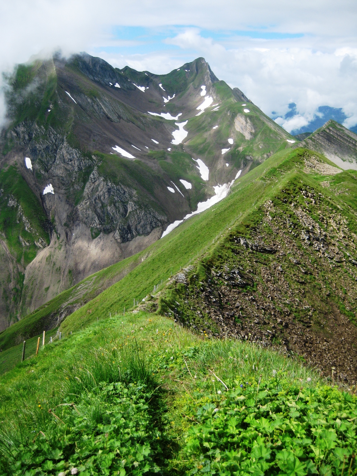
This is a fun trail following the ridge over to Brisen.


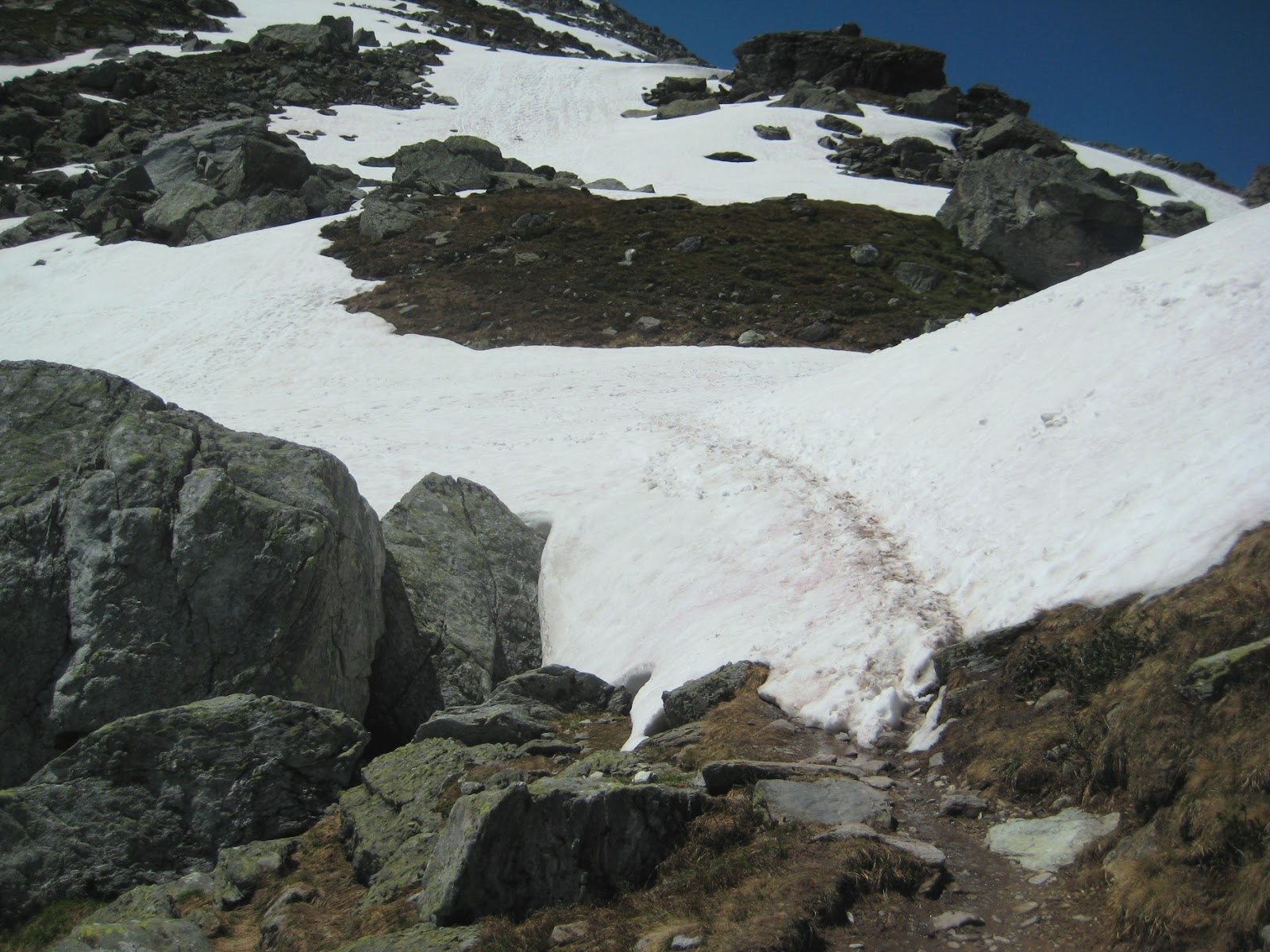
Looking back to Risetenstock.

Looking up to the Brisen.


The trail down the other side of Brisen.


I was mesmerized by the fog coming off the ridge.  A cold wind was blowing from the left, but it was warm like a greenhouse on the right side of the ridge.


02 July 2013

Hike: Schwanden - Mettman - Matzlenfurgellen - Kärpstäfeli - Leglerhütte SAC - Kärpfbrucke - Stausee

I took the opportunity on this perfect-weather day (a rare occasion so far this summer) to go for a hike in the Elm region of Canton Glarus, Switzerland.

 Stausee, 1610 m

 Above Stausee on the trail to Matzlenfurggelen.

 Matzlenfurggelen, 1913 m.

This Bergsee is a perfect spot to stop for a short break, with a view of Kärpf (2794 m).

Getting to the 2000 m level on the slopes of Kärpf Mountain where, even on the 1st of July there is still quite a bit of snow this year.  The temperature was about 21°C (70°F).


The rewarding view that appears when arriving to the top of the mountain pass. 

Here it gets tricky.  One careful step at a time! 


Finally, the top is in sight.  I'm getting hungry!

Conveniently-located, Leglerhütte SAC, 2273 m.

 Delicious lunch with a view.  (Don't forget the sunscreen).

The view from Leglerhütte down to Ängisee.

On the way back down, I passed "Kärpfbrücke" where the mountain stream goes underground and comes back out about 50 m downstream.


16 June 2013

Hike: Brunnen - Hochflue - Rigi Scheidegg - Rigi Kulm - Küssnacht


A picture-perfect morning start in Brunnen along Lake of Lucerne.

Starting with a steep climb up 900 meters in the first 2 hours.  It's alot of fun climbing over these boulders!

The dizzying view back towards Brunnen.

Ahhhh...

A short, but vertical bit back down.

Luckily someone put a cable to hold on to in just the right places.
... and on to the next challenge... to the mountain peak ahead, called Hochflue (elev. 1699 m), is about a 1hr, 500 meter climb from here.

An intimidating vertical section near the top.  Yikes.

The view from atop Hochflue. 

Then we hiked 500m down the other side of Hochflue and headed towards the next two peaks...

... Rigi Scheidegg (1,665 m) and Rigi Kulm (1,798 m)

View to the east towards the "Mythen"


The view back to Hochflue.

The view south towards the alps from atop Rigi Scheidegg.
And finally after 7 hrs of hiking, the 700m nearly vertical descent from Rigi Kulm down towards Küssnacht.

Yikes.
Trying to keep my eye on the trail.  "Don't look down!"

A little bit farther...
We made it down in about 2hrs.  The view back up to the tower on Rigi Kulm where we came from.